
A couple weeks ago, I joined Tim on a work trip out east towards Appalachia country. We had a free day in the Roanoke, VA area (before heading to Charlotte, NC for a couple days) and I said the one thing I wanted to do on the trip was a hike. I have never been east of Nashville and love hiking, so being in prime Appalachia Mountain hiking country gave us the perfect opportunity.
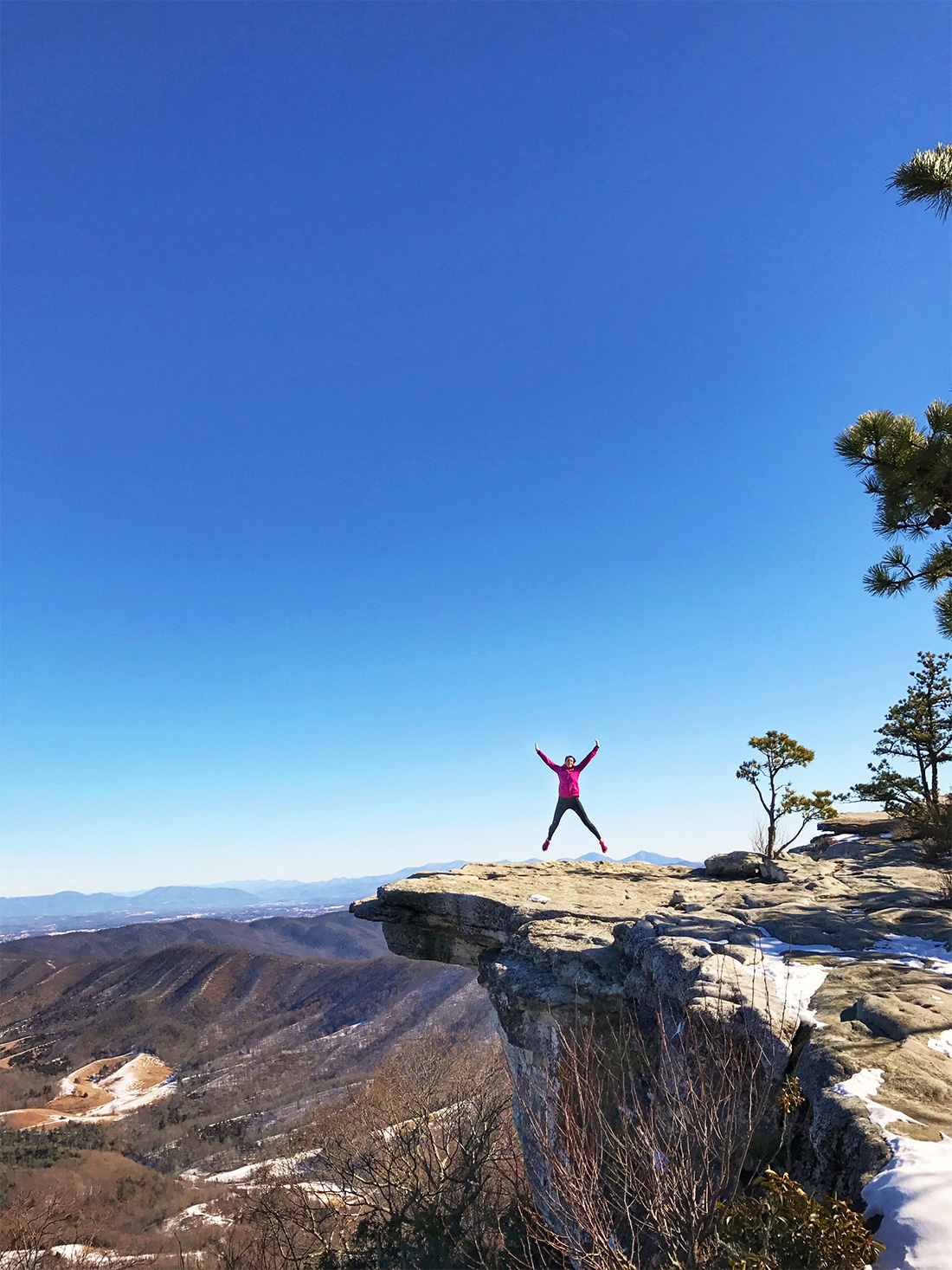
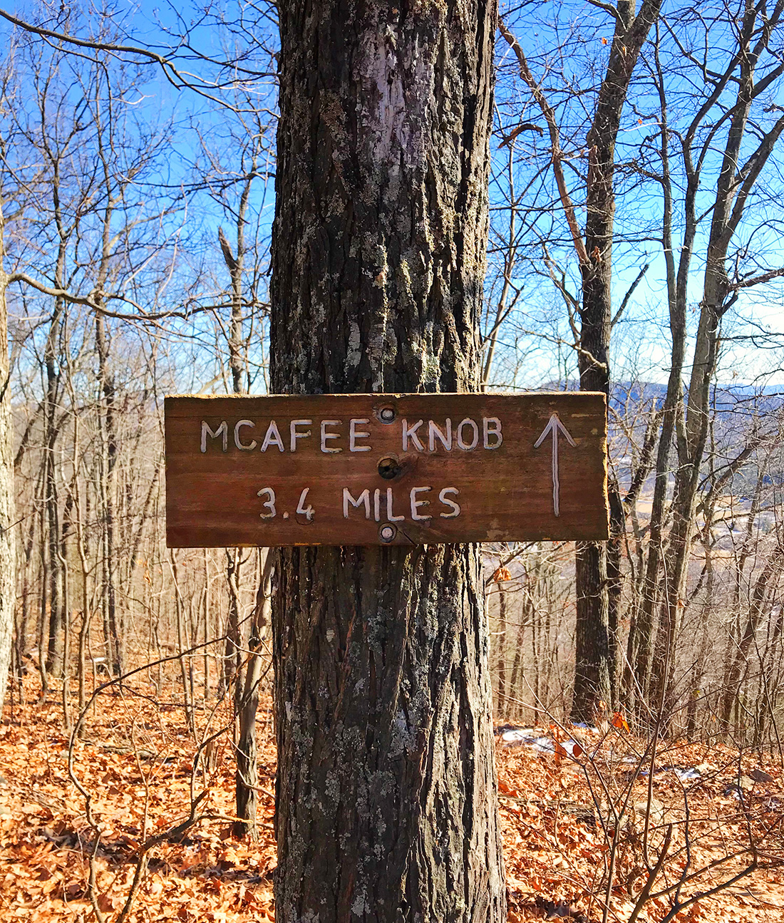
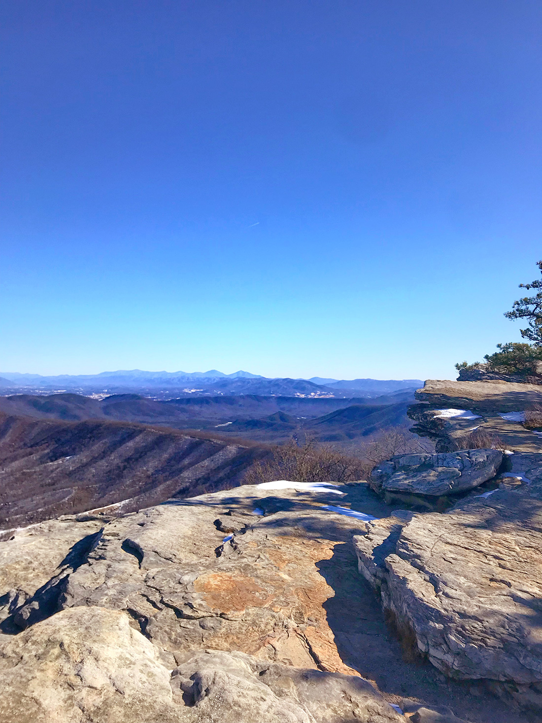
I did some research on hikes near Roanoke, and Tim had reached out to some coworkers and clients for suggestions. At first I was set on doing Dragon’s Tooth, but realized it was probably more technical than I was prepared to do. McAfee Knob ended up being the perfect hike. I read several different forums about the hike – what to expect, distance, time, etc. Turns out it’s one of *the* most photographed lookouts along the Appalachian Trail. Even though we went in January, I can see why! The views are great and the rock formations give you the perfect photo opportunity.
We did the trail on a Friday and got to the trail head parking lot about 9:30AM. We were the first car there, but the lot was about half full when we returned early afternoon. It’s recommended to give yourself a minimum of 4-5 hours roundtrip to do the hike. It took us 1 hr and 50 minutes to get to the top, and that was moving at a decent pace but also stopping a few times for some photos. It took us almost two hours to get down, and that included stopping to eat our lunch on the way.
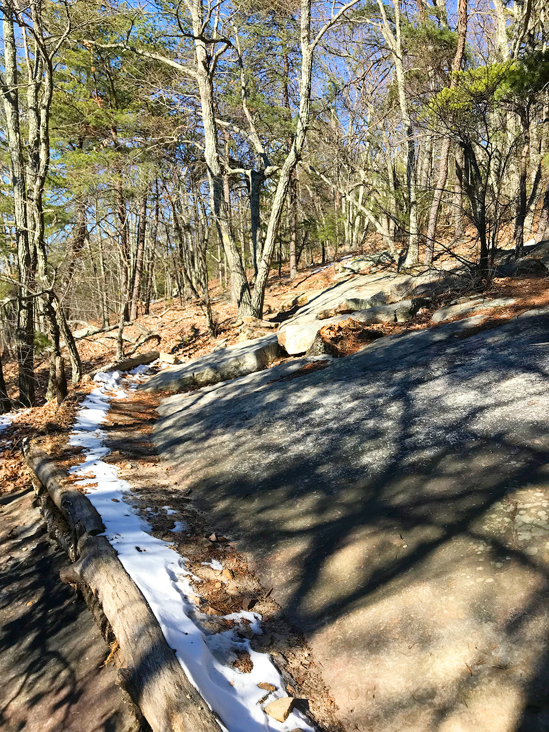
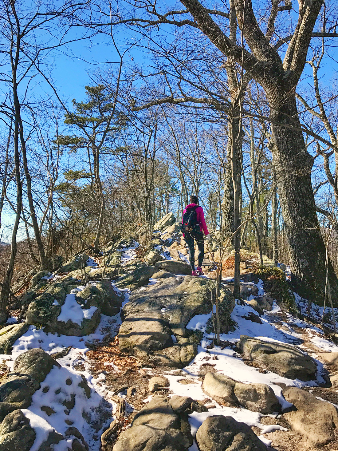
*TIP* DO take the Appalachian Trail to the top! DON’T take the fire road. You could take the fire road, but you’d be doing yourself a big disservice. The A.T. is more technical on the way up, whereas the road is…well, it’s a road. And when I say “technical” it’s really not that technical. There’s some elevation change and stair steps, but it’s actually a fairly easy hike. (Tim and I both agreed that Poo Poo Point in Washington is still the hardest hike we’ve done.) You just have to keep an eye out for the trail to veer off to the right about a half mile in (from the parking lot) where there is a trail map posted.
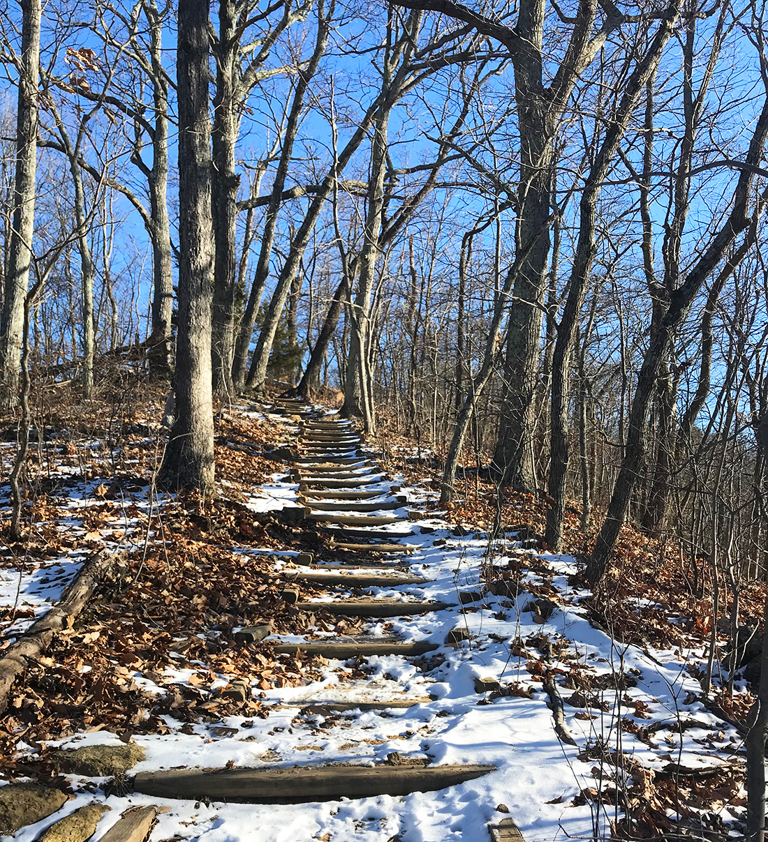
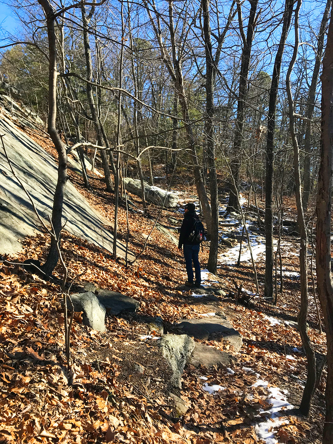
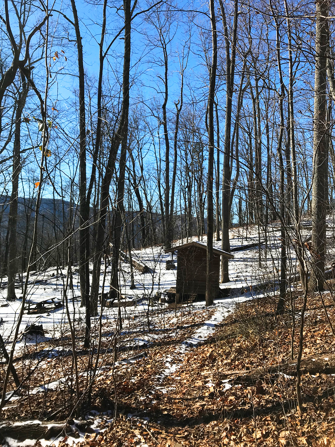
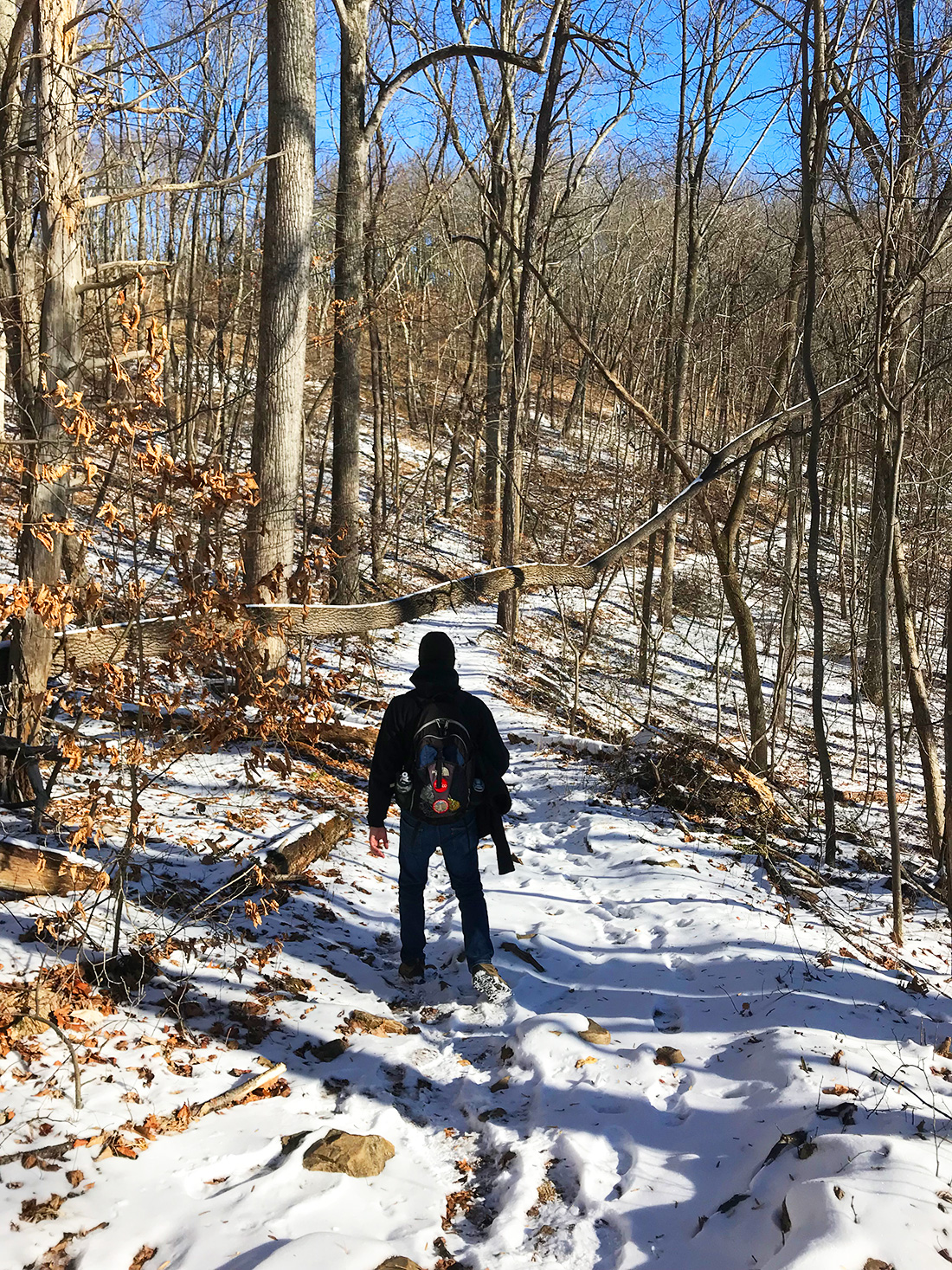
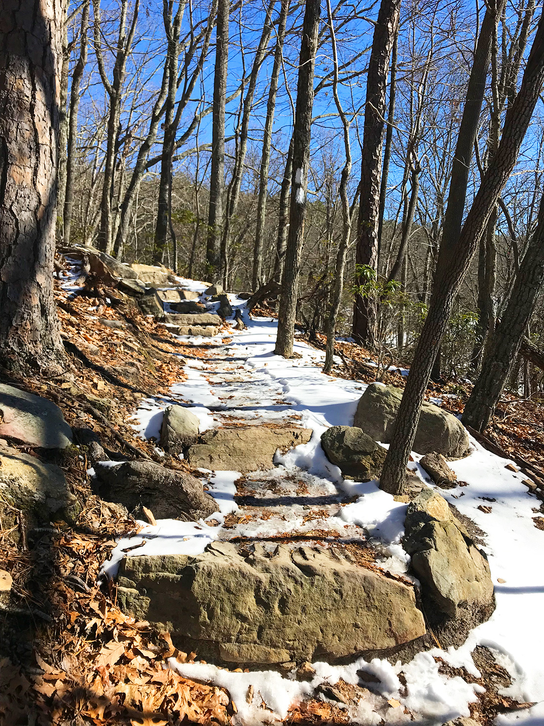
The trail was pretty clear for the most part, but there were times that it was completely snow covered from the snow fall earlier in the week. The trees were well marked with white paint spots, telling you that you were in fact going the correct way. However, there were a couple instances that had it not been for footprints in the snow from earlier hikers, I wouldn’t be so sure of where the trail was going. The top was SO windy and cold, we didn’t stay up there long. It was only about 35 degrees when we set out that morning, and it was much colder than that at the top. Luckily, we were the only people at the top! We took the fire road back down to see what the difference was, and met several people on the way. We clocked exactly 8 miles when it was all said and done.
We hit up Parkway Brewing after the hike. We more than deserved a couple beers after that hike! We decided to keep going with the breweries and also stopped by Soaring Ridge Craft Brews and Big Lick Brewing. We hit up Black Dog Salvage and ended the night with dinner at Jack Brown’s.
—m.