
So this is what I saw flying into Omaha over the 4th of July weekend. I know it’s been almost 2 weeks ago, so the pictures probably don’t represent the current situation of the Missouri River flood. I’m sure it’s still very similar, but I don’t hear much about it living several hours away. Not to mention, I’m sure people are tired of hearing/talking about and dealing with it. I know I would be.
My first of the flood from the plane.

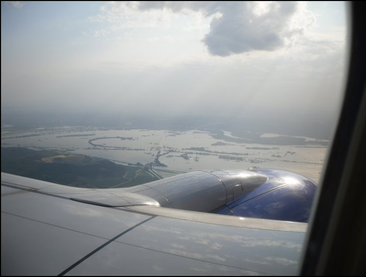
Flying over the flood—The real path of the river is in the upper right hand corner.
 Flooded farm

That little patch of green in the upper left is the airport—completely surrounded by the flood.
 The normal river path flows right across the middle of the picture

Interstate 29 flooded over. The water even has white caps. I’m not sure what exit this is though.

Going over flooded fields to start landing. It was kind of scary to see how close we actually got to the water.
 —m.
—m.